Early Roads
Discussing Why L.A. Has Clashing Street Grids, Historian Nathan Masters, looks back to the trails trodden by mammals during the Pleistocene epoch – the geological period from about 2,588,000 to 11,700 years ago. (For more on the earliest years of Cheviot Hills, see the page on the Pleistocene fossil beds at the east side of Cheviot Hills.)
The most ancient imprints are so old as to qualify as pre-historic. Wilshire Boulevard is today a 16-mile stretch of roadway and commerce linking downtown Los Angeles with Santa Monica’s Pacific shore. It was also L.A.’s first highway, likely blazed by mammoths and other Pleistocene mammals in search of food and water on the cienegas of the L.A. flood plain. Later uses of the meandering trail – an Indian path connecting the villages of the Tongva people, an ox-cart road for transporting asphalt pitch from the La Brea Tar Pits to the Spanish pueblo of Los Angeles, a dirt highway linking the Mexican ranchos west of the city – hint at the layers of cultural influences that underlie L.A.’s landscape.

Like Wilshire Boulevard, Washington Boulevard may also have been dictated by topography, as it follows the valley between Baldwin Hills and Cheviot Hills.

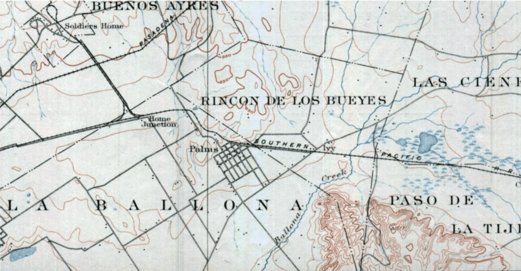
Washington Boulevard (shown in the above 1896 USGS map just above the word “Ivy”) was earlier known as Paseo de los Carretas (ox cart road). It connected the Pueblo with public grazing grounds Corral Viejo del Rincón (the old cattle corner), which were hemmed in by the hills. Corral Viejo del Rincón is referenced in the land grant petition for what became the 1821 Spanish Rancho Rincón de los Bueyes (Cattle Corner Ranch). The petitioners (Bernardo Higuera and Cornelio Lopez) had “a number of cattle” but no place to properly keep them, so they sought a “tract within this vicinity” “to place a corral for herding the said cattle.” (This site’s author would like to locate the original petition in Spanish.)

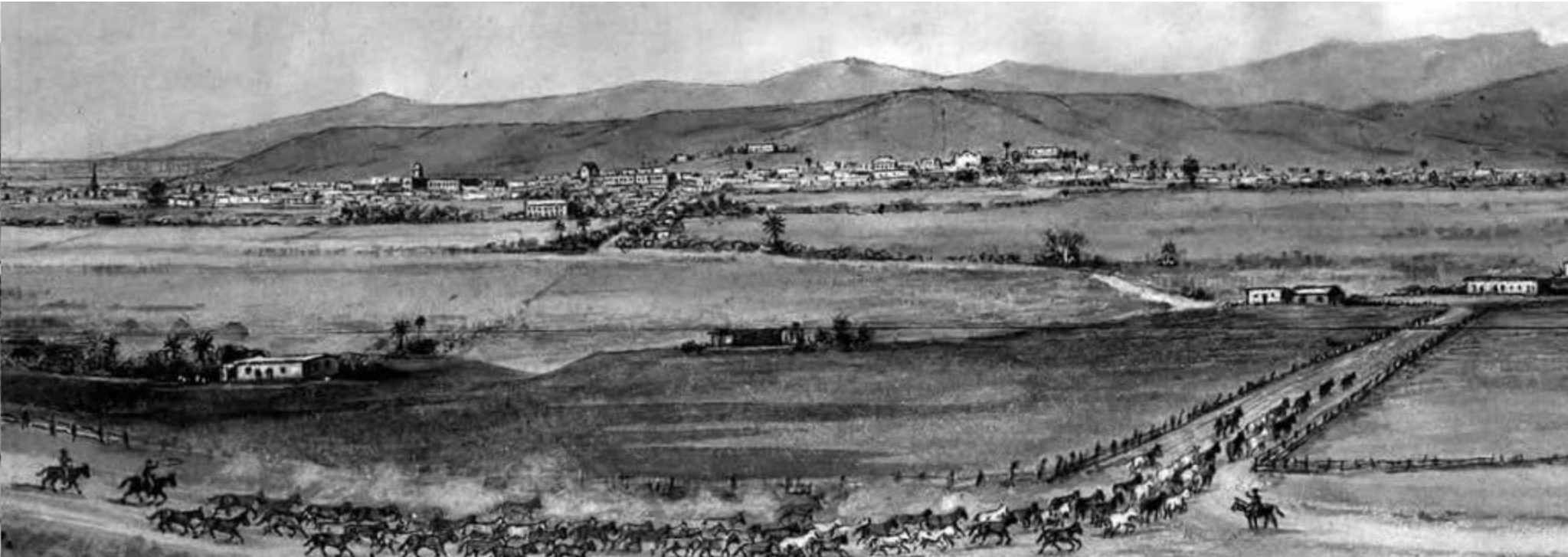
Image at the top, “Los Angeles in the 1700s,” from the La Brea Tar Pits and Museum Website timeline.